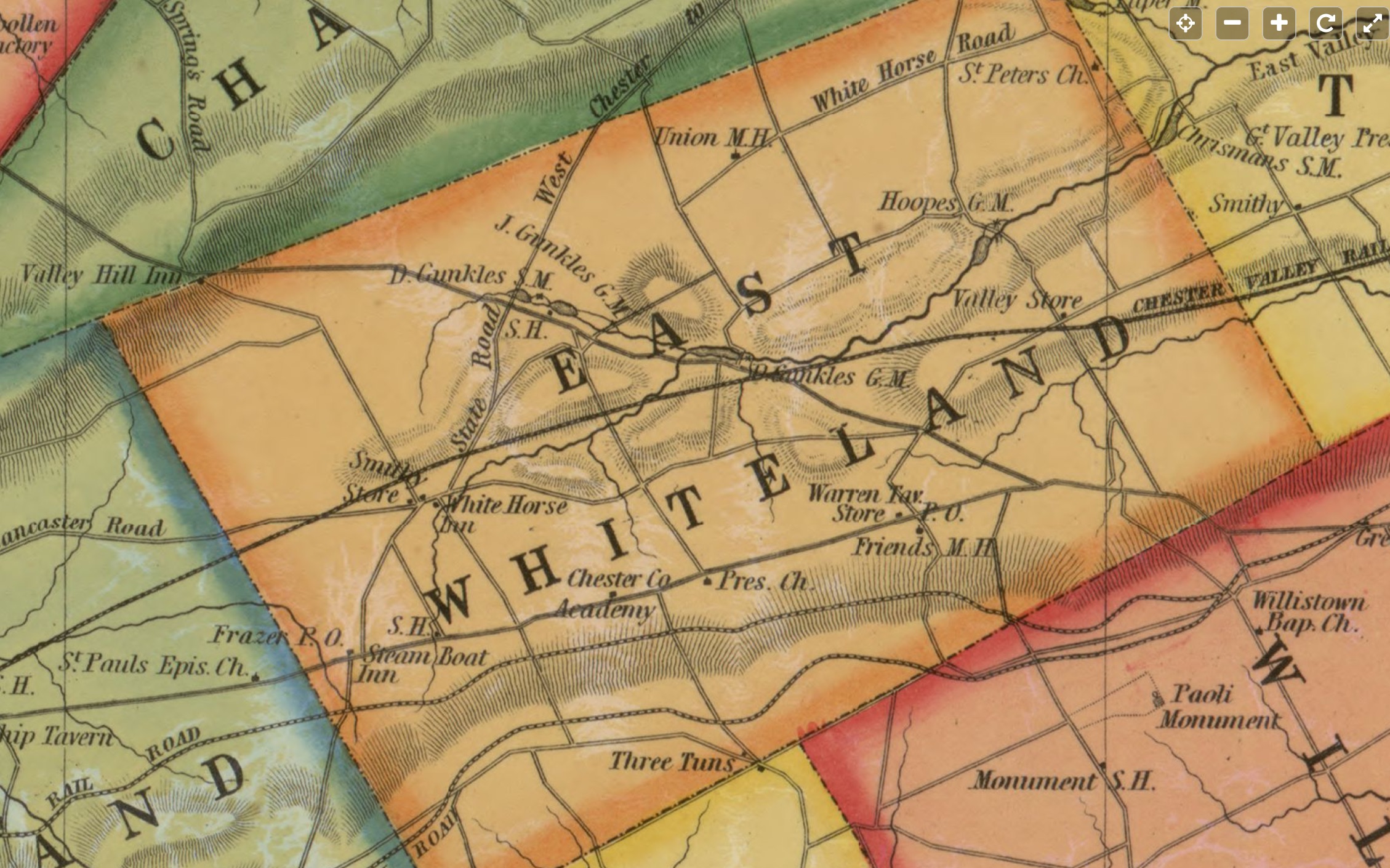
Shows reference to the “White Horse Inn”.

Library of Congress Digital Copy
https://lccn.loc.gov/2012590186
Kennedy, T. J. Map of Chester County, Pennsylvania /
corrected, embellished, and published by T.J. Kennedy,
Westchester ; from original surveys by S.M. Painter & J.S.
Bowen. Philadelphia : R.L. Barnes, 1856. Scale [ca.
1:63,360].
     1 map on 4 sheets : hand col., cloth backing ; 95 x 112
        cm., sheets 53 x 63 cm. and 54 x 63 cm.
     G3823.C5 1856 .K4
One thought on “Map–Chester County, Pennsylvania. 1856”