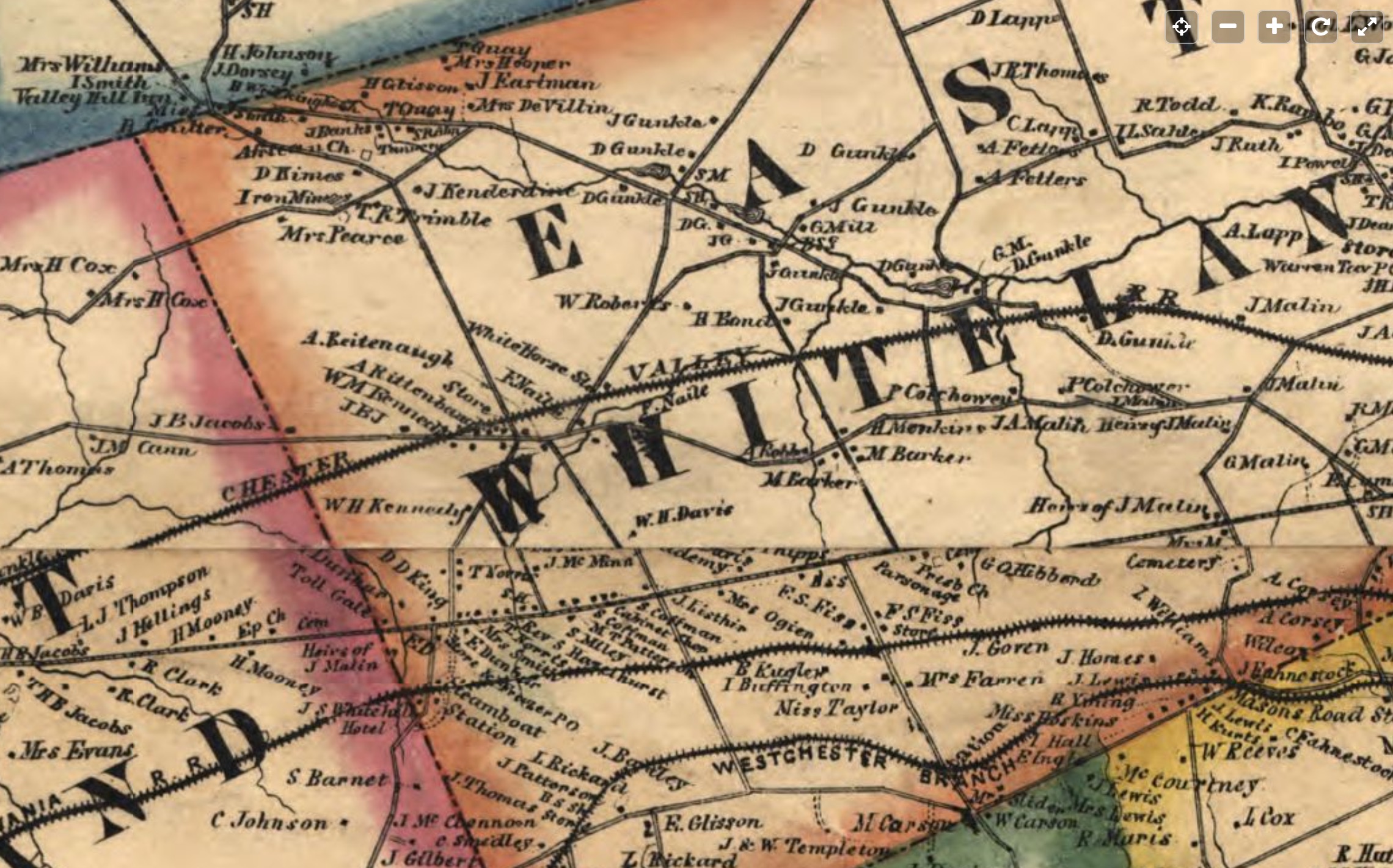
Real property map published by Kennedy, T. J. in 1860. Shows Tavern owner Adam Reitenbaugh (spelled as A. Reitenaugh and A. Rittenbough).

https://lccn.loc.gov/2003627062
Kennedy, T. J. Map of Chester Co., Pennsylvania. [S.l.],
1860. Scale not given.
     1 map : col. ; 121 x 106 cm.
     G3823.C5 1860 .K4 TIL
One thought on “Map-Chester Co., Pennsylvania. 1860”