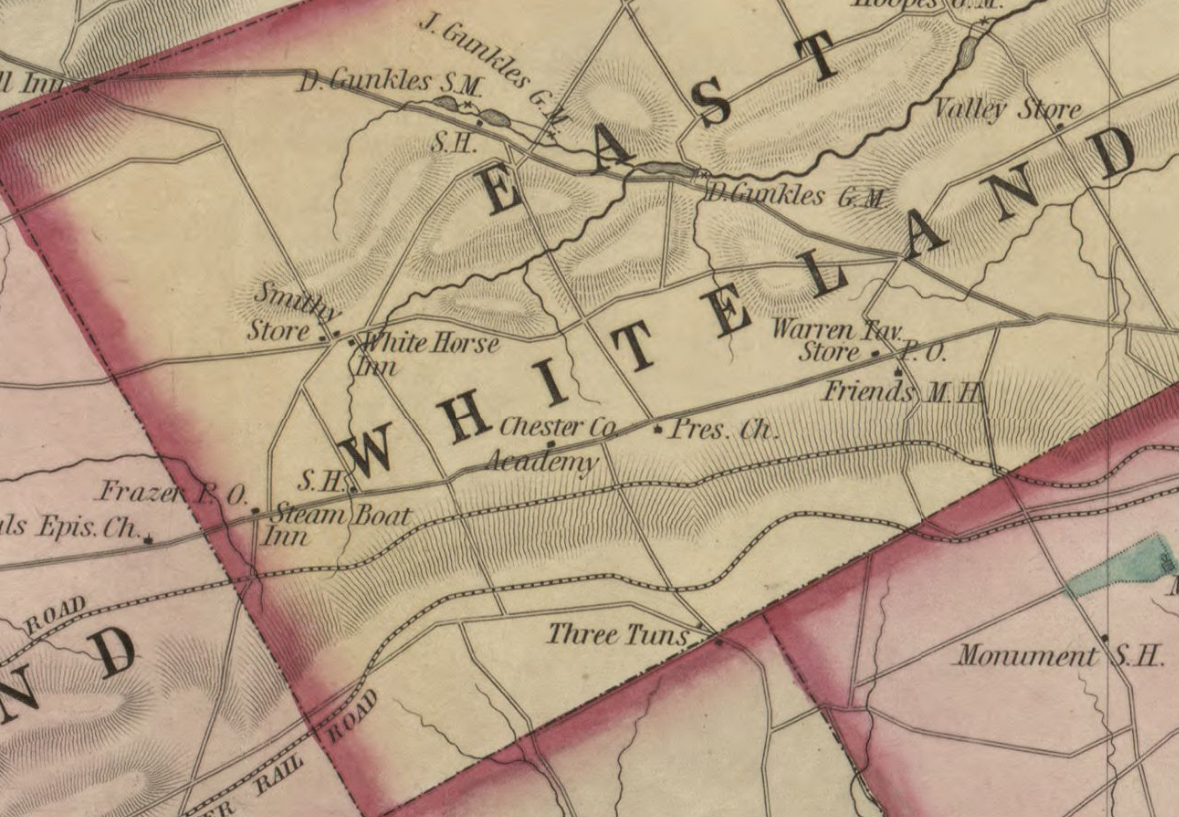
Reference to “White Horse Inn”.

Library of Congress Digital Copy
https://lccn.loc.gov/2012592159
Map of Chester County, Pennsylvania : from original surveys
/ by S.M. Painter & J.S. Bowen ; projection & drawing by
J.S. Bowen ; engraved by Edw'd Yeager, Philad'a.
[Philadelphia? : s.n.], 1847. Scale [ca. 1:63,360. 1 in. = 1
mile].
     1 map : hand col., cloth backing ; 95 x 112 cm., folded
        to 54 x 62 cm.
     G3823.C5 1847 .P3
One thought on “Map–Chester County, Pennsylvania: from original surveys. 1847”