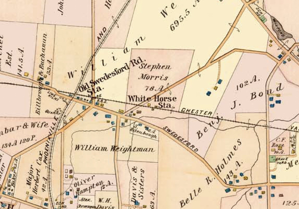
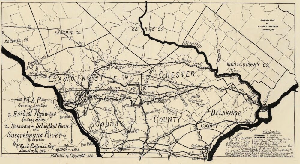
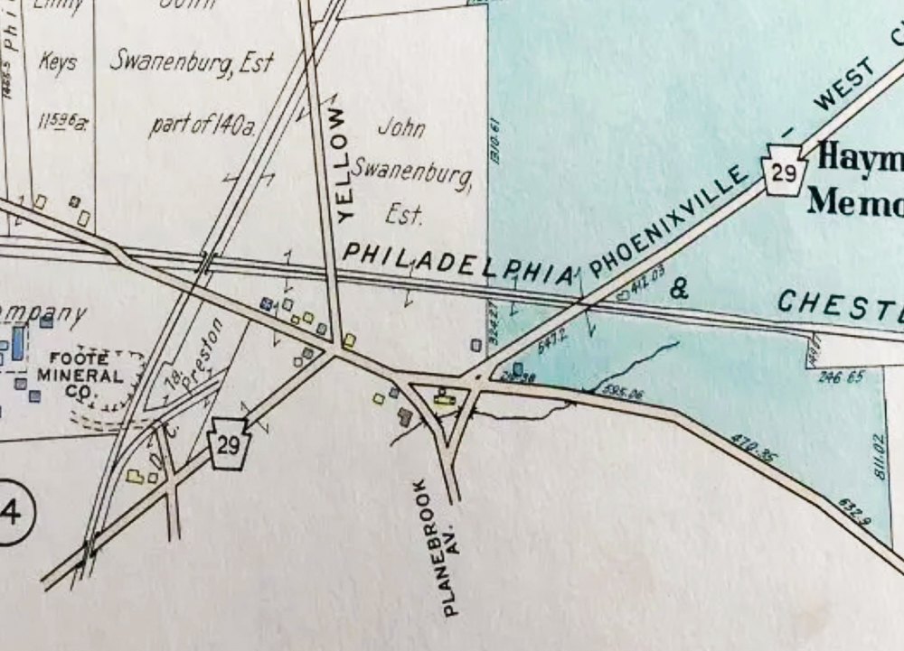
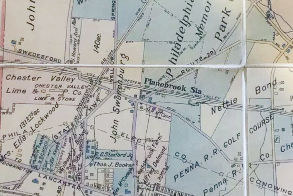
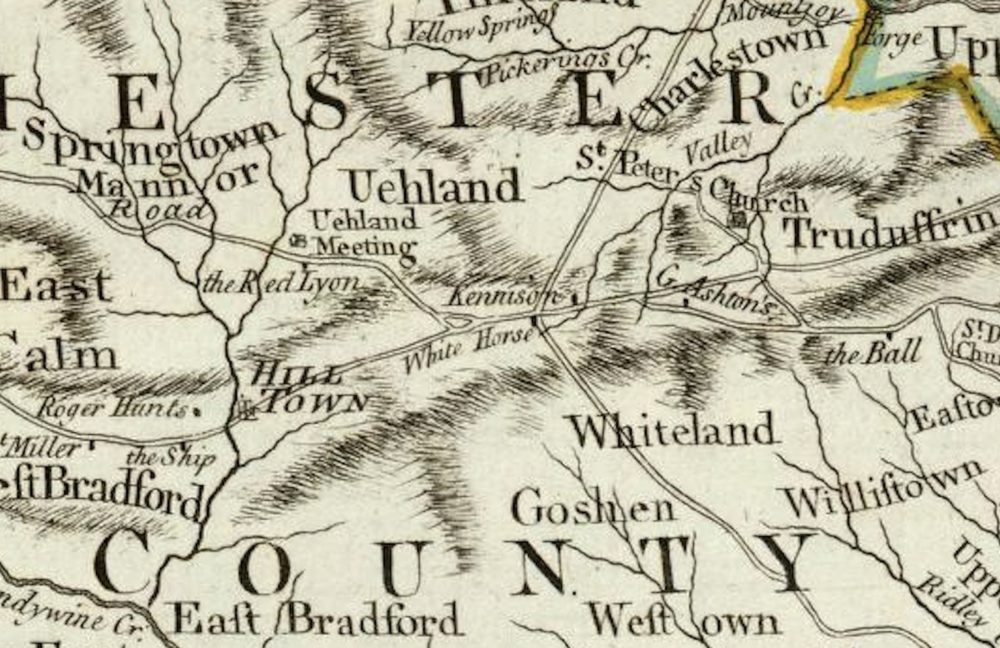
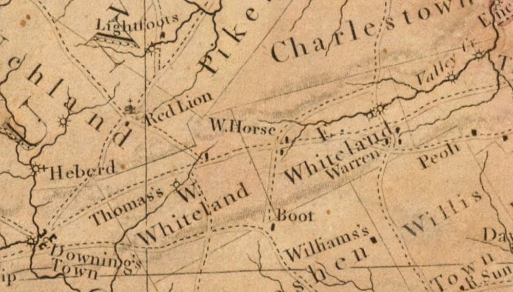
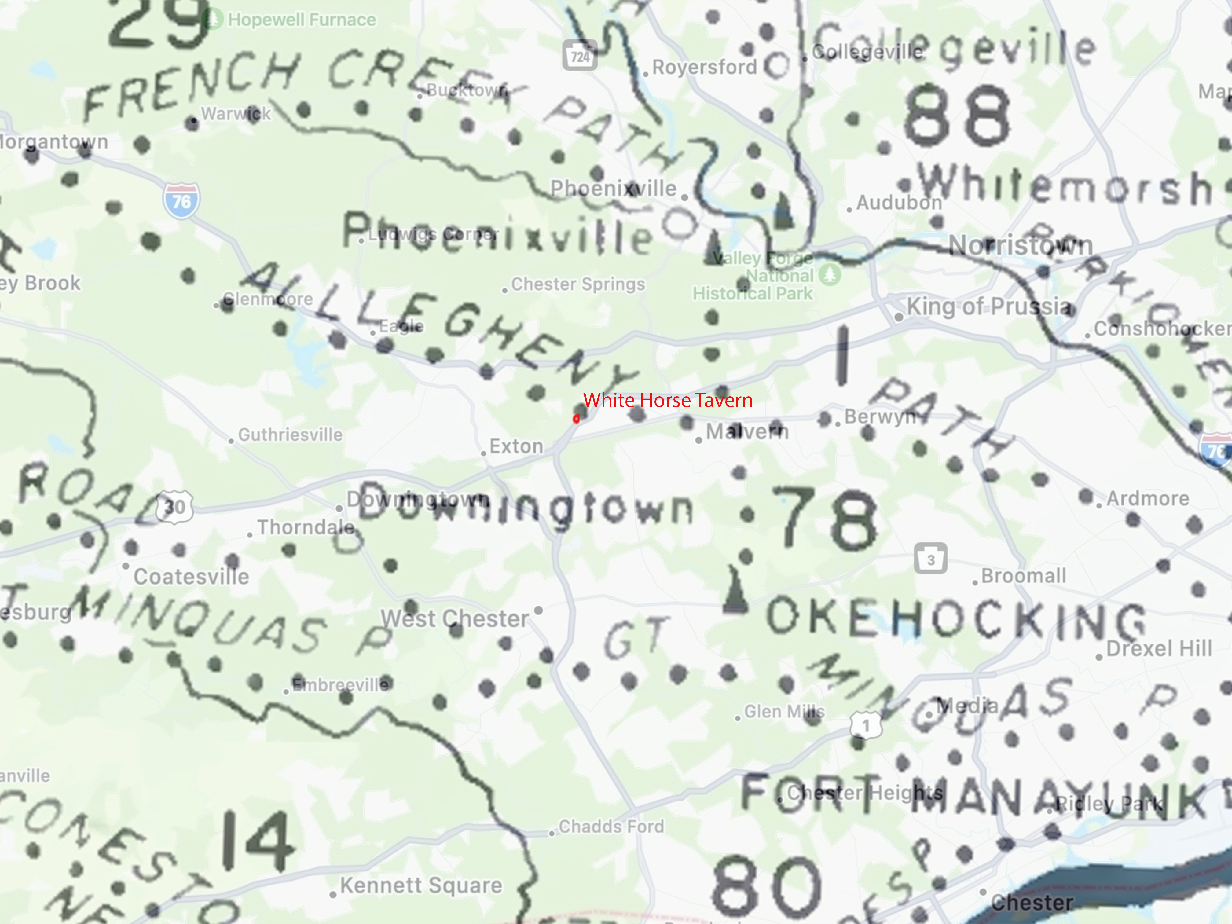
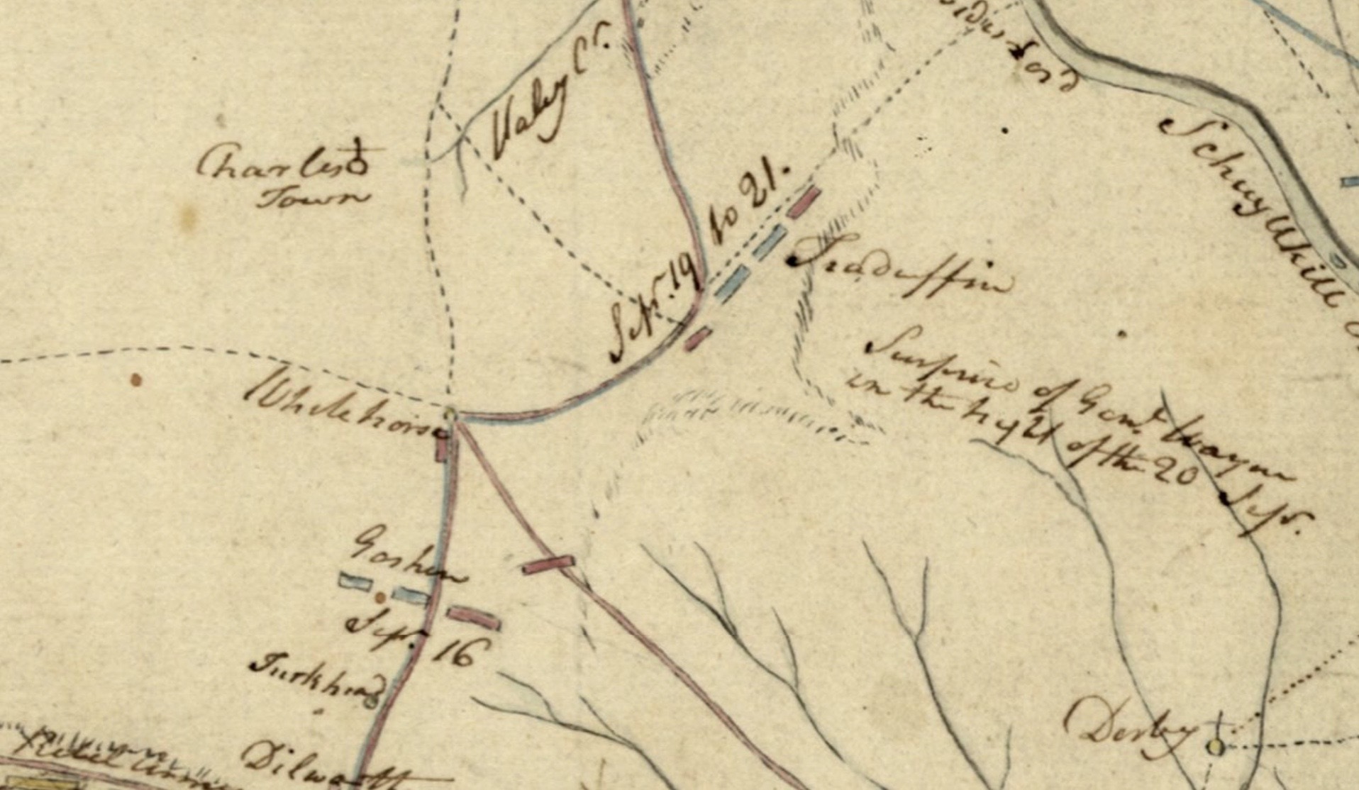
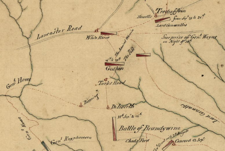
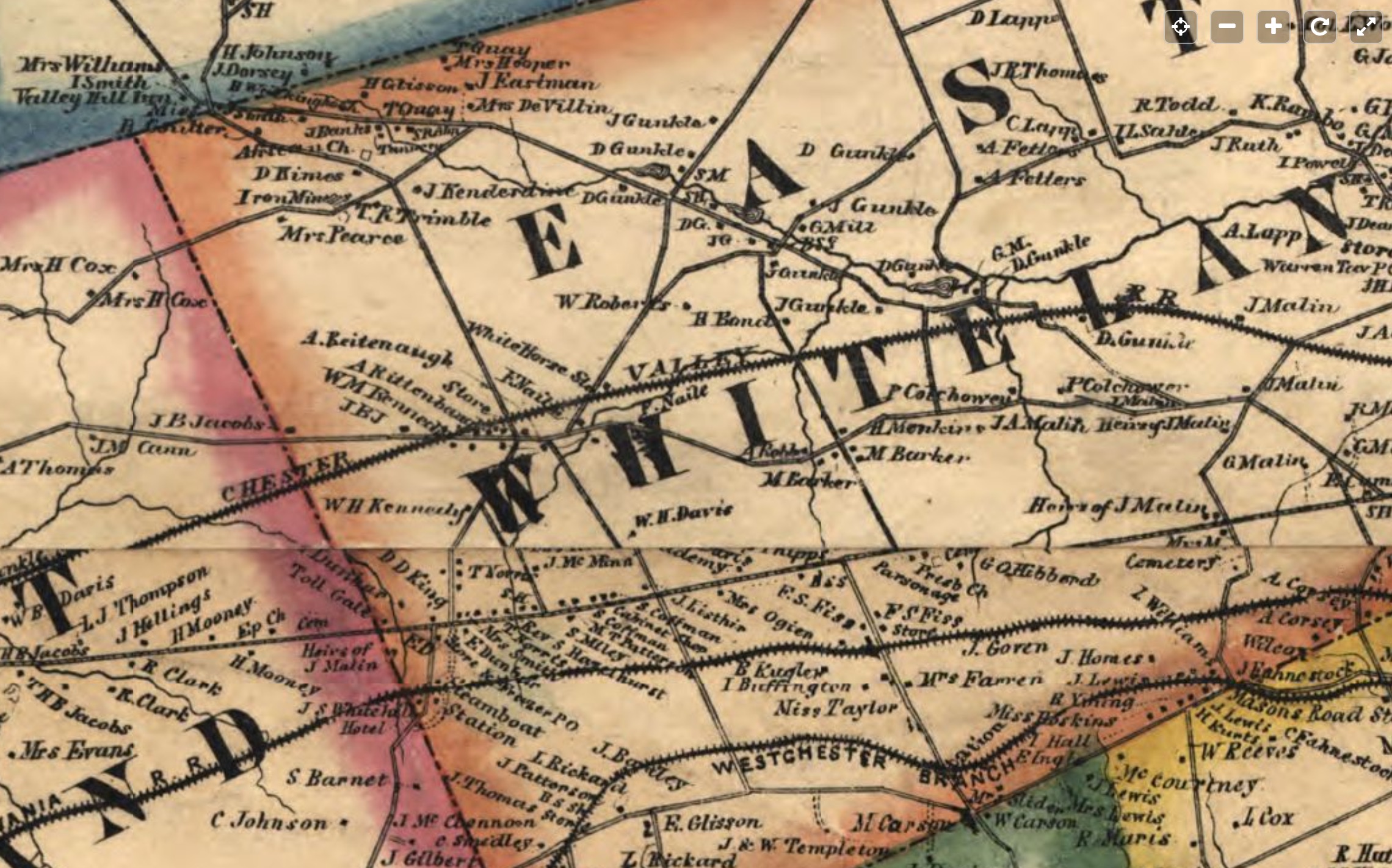
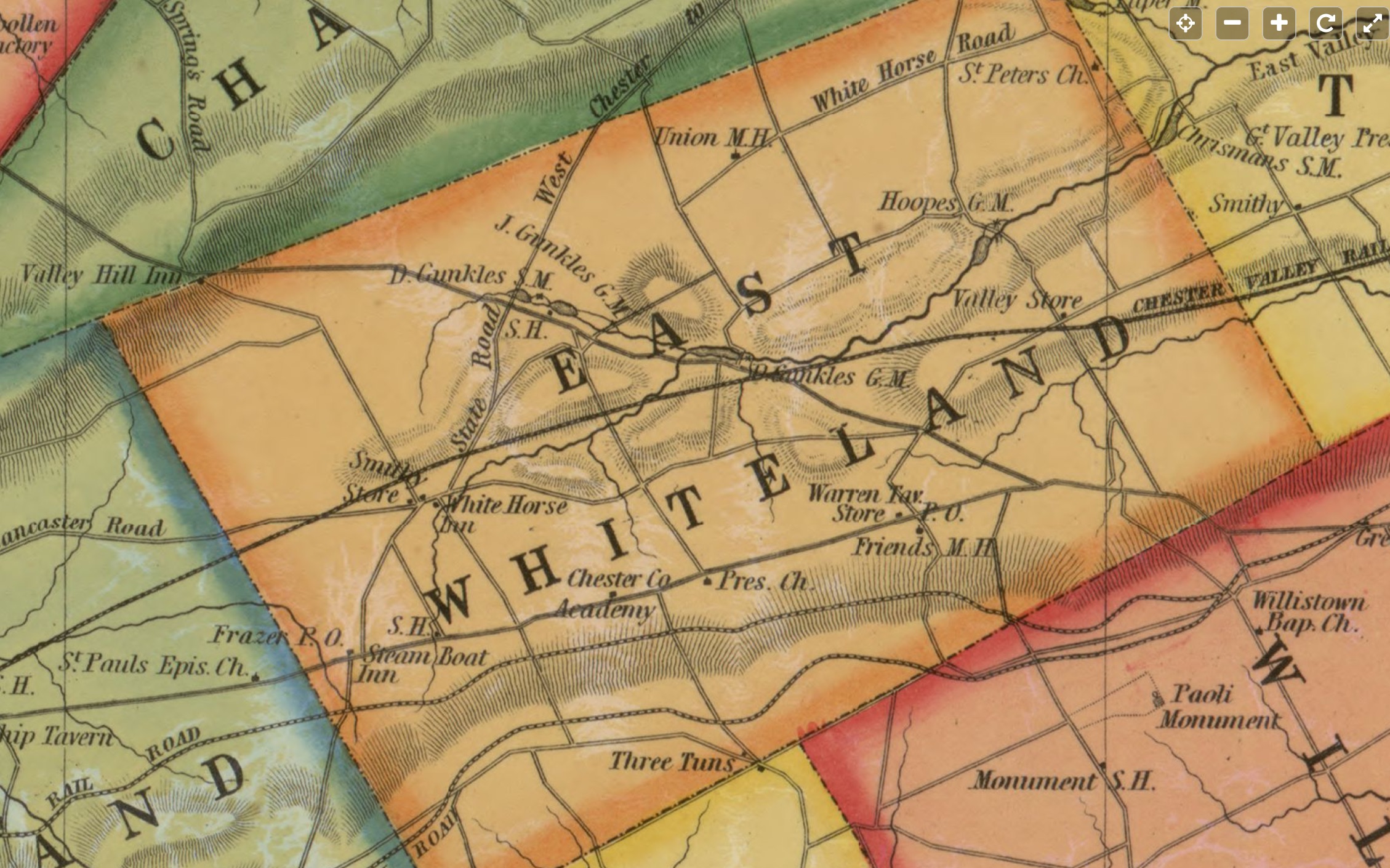
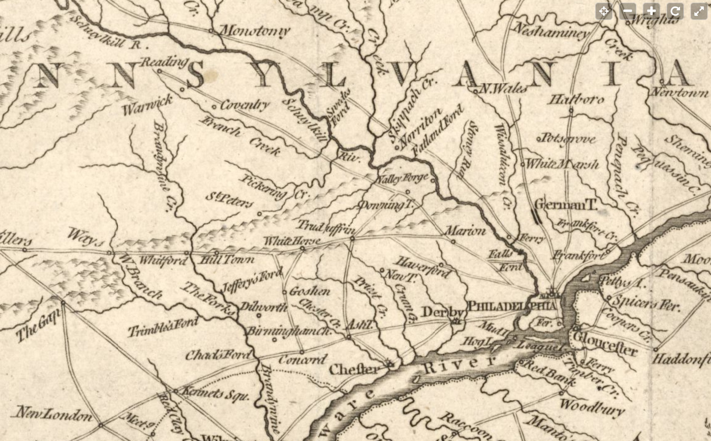
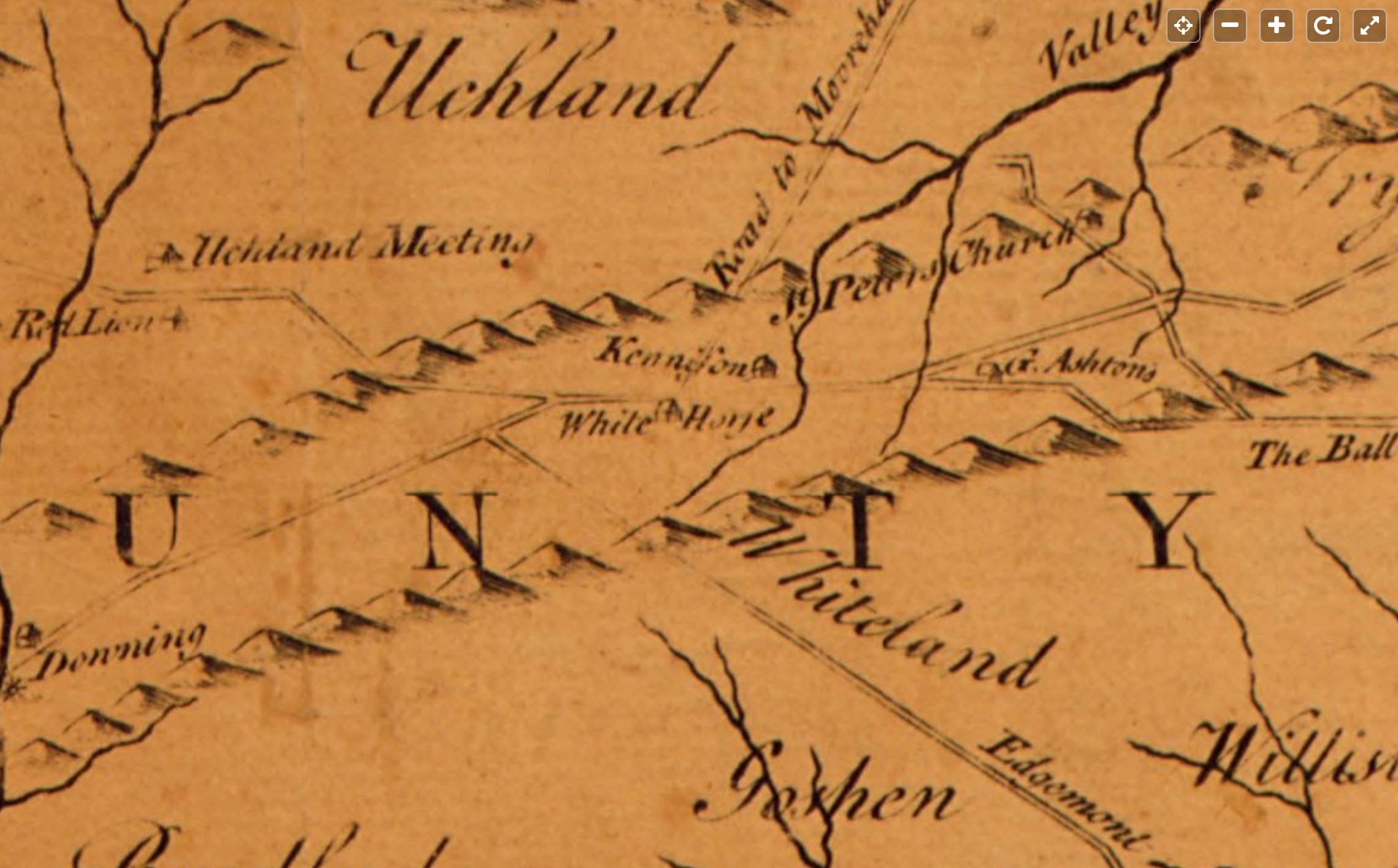
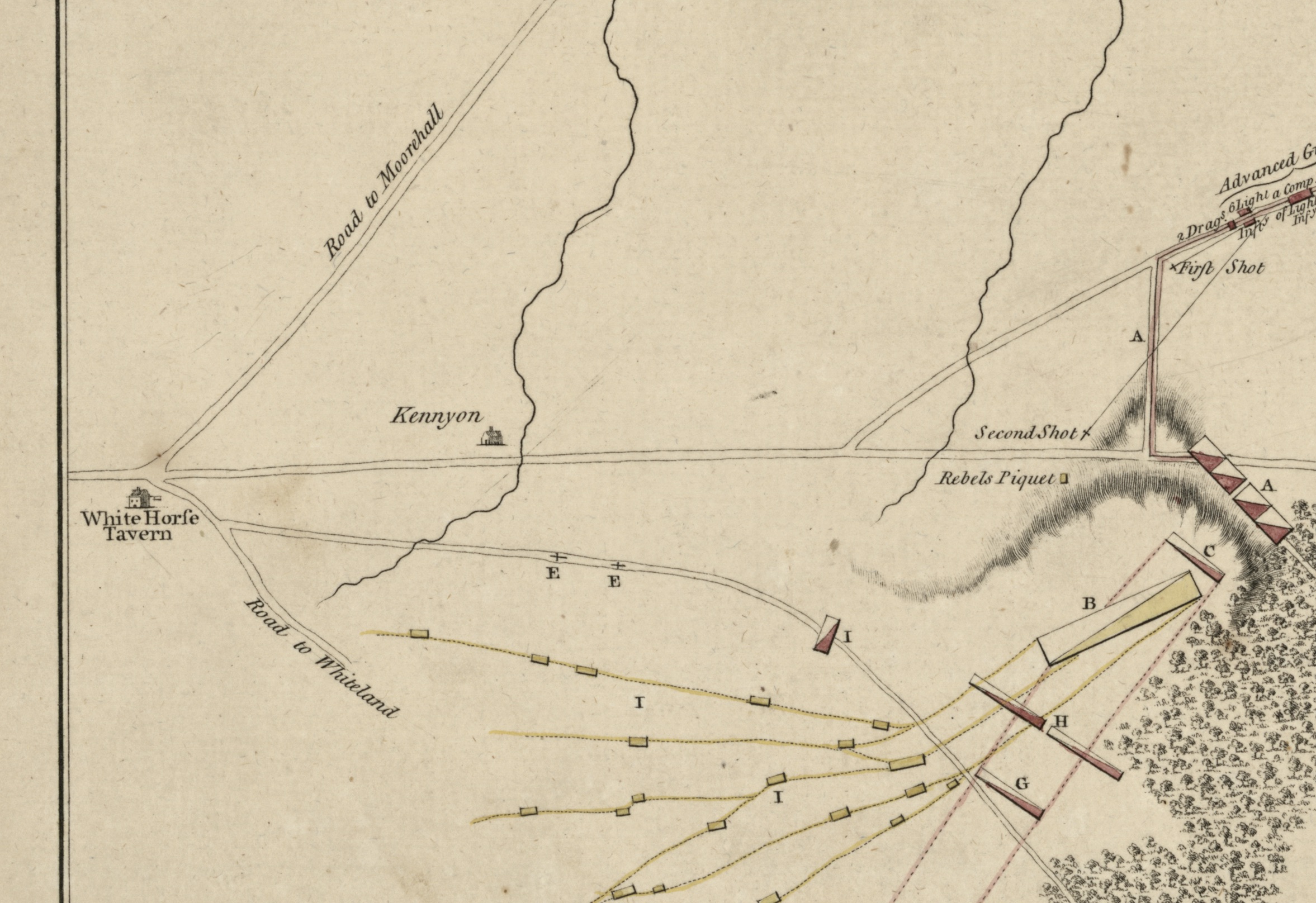
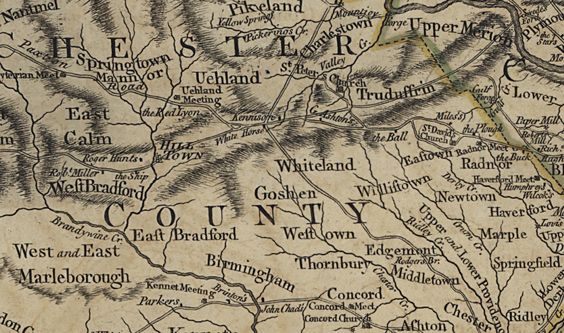
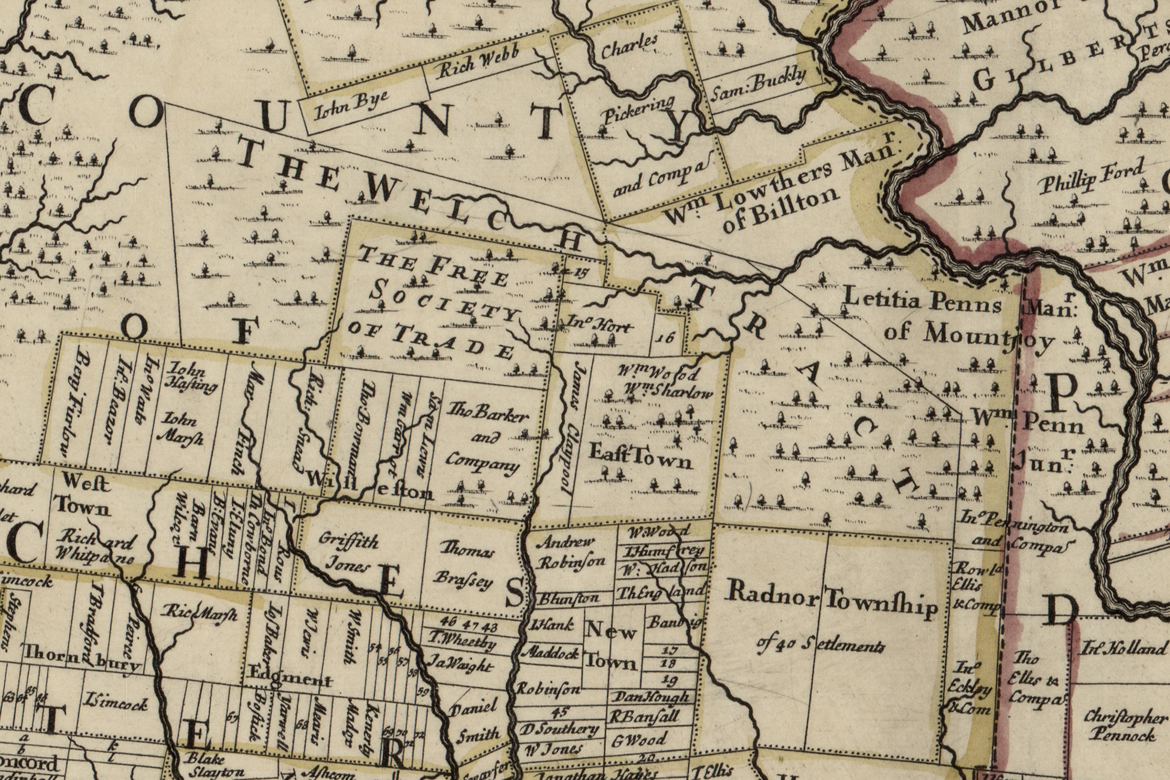
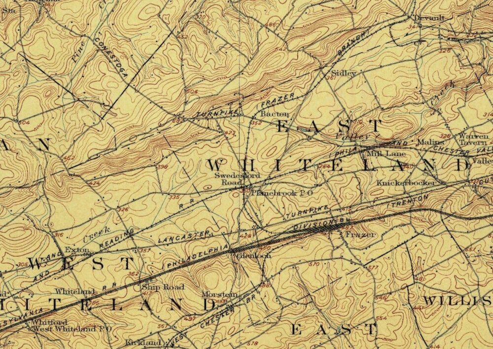
Native American–Allegheny Path

Overlaying a map of Native American paths over a map of Chester County shows the “Allegheny Path” [path no. 1] passing directly behind the White Horse Tavern.  The path stretches from Philadelphia […]

Read more

List of Maps Referencing the White Horse

  The improved part of the Province of Pennsylvania. 1759 Shows White Horse and many other taverns.  Also shows Kennison’s home nearby.  Roads near the tavern are “The Road to Philadelphia” from […]

Read more

Map-Chester Co., Pennsylvania. 1860

Real property map published by Kennedy, T. J. in 1860. Shows Tavern owner Adam Reitenbaugh (spelled as A. Reitenaugh and A. Rittenbough). Library of Congress Digital Copy https://lccn.loc.gov/2003627062 Kennedy, T. J. Map […]

Read more

Map–Chester County, Pennsylvania. 1856

Shows reference to the “White Horse Inn”. Library of Congress Digital Copy https://lccn.loc.gov/2012590186 Kennedy, T. J. Map of Chester County, Pennsylvania / corrected, embellished, and published by T.J. Kennedy, Westchester ; from […]

Read more

Animation of Battle of the Clouds

Kudos to Western Heritage Mapping on the animation of the battle of the clouds.  The house, where at the end of the video, Washington’s troops are lined up before they leave the […]

Read more